FUEL-SAT PROJECT
Improve the estimation of key wildfire fuel variables using an innovative multi source remotely sensed data framework
Why are we undertaking the FUEL SAT project?
Wildfire behavior is highly dependent on the
vertical and horizontal fuel distribution;
vertical and horizontal fuel distribution;
Fuel is the driver that land managers can directly control to reduce fire risk;
Fire behavior simulators (e.g . FlamMap ) have been used by scientists and fire managers to better support fire and fuel management decisions;
The accuracy of the simulation outputs is highly dependent on the availability of accurate fuel data;
In Portugal there is a lack of accurate
and systematic spatial information
about key fuel related variables
and systematic spatial information
about key fuel related variables
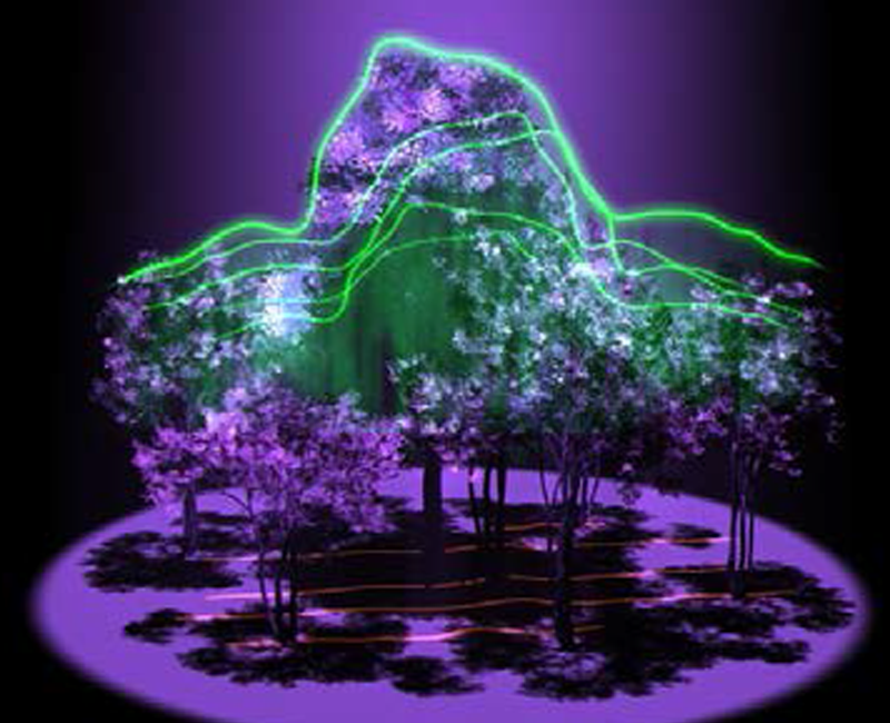
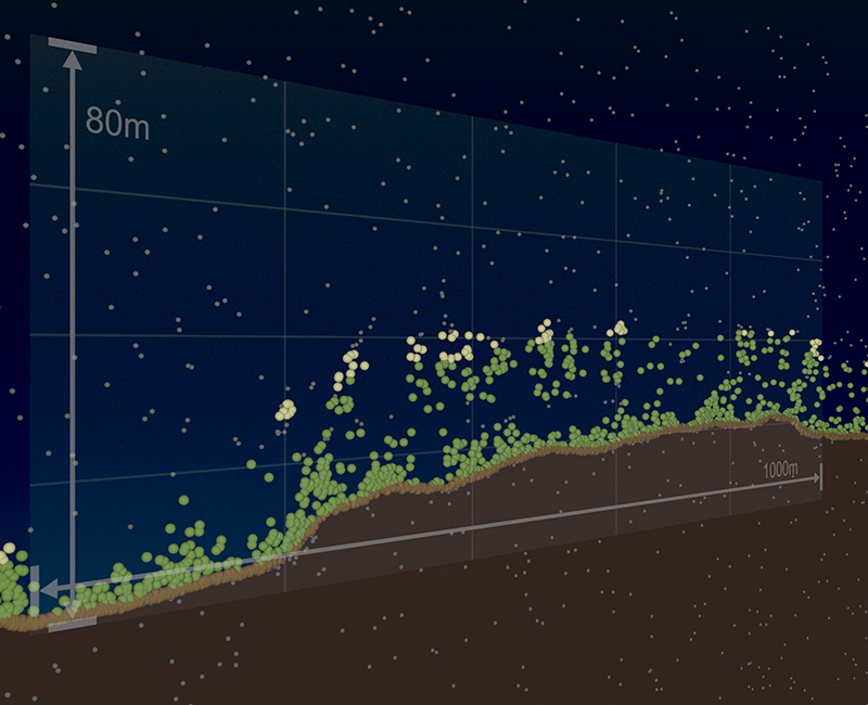
Measure the height of forests to calculate the amount of vegetation in the region


What are we trying to achieve with FUEL SAT?
We want to build and test a remote sensing based approach to accurately map the spatial distribution of key related fuel variables
FUEL SAT project
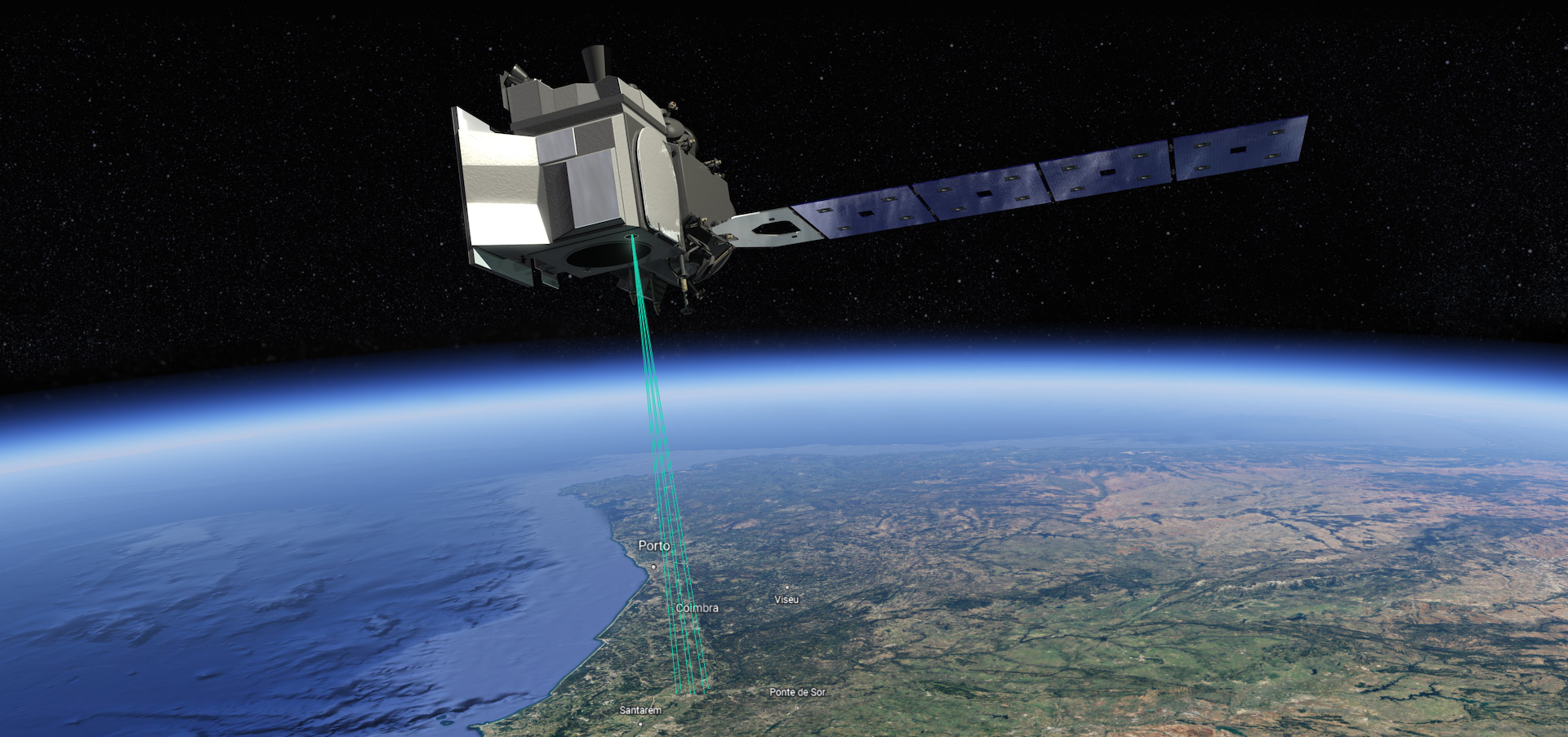
A view of the six ICESat-2 beams over forested mountains
MAIN GOALS
Improve the estimation of key wildfire fuel variables using an innovative multi source remotely sensed data framework;
Estimate key fuel related variables using ICESat-2 data ( CC, CBH, CBD, SH, SC and shrub biomass);
Extrapolate the estimates of key fuel related variables to areas outside the ICESat-2 footprint coverage by integrating data from multiple satellites creating continuous maps for the study area;
Assess the impact of the availability of improved satellite derived fuel related variables on the definition of target priority fuel management areas
